
Project map published!
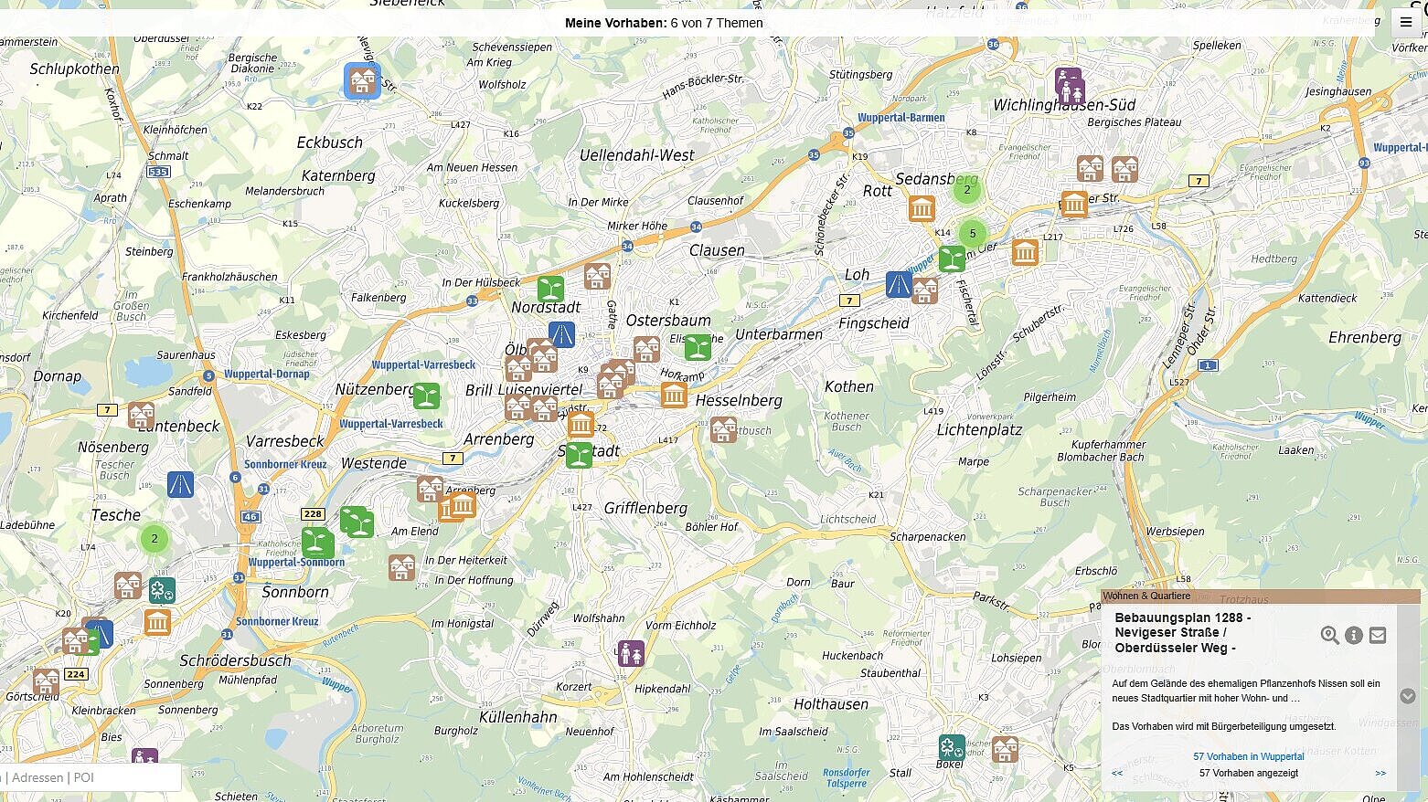
The project map shows important spatial projects in the city clearly on a map. This allows you to see at a glance which projects are currently being implemented or planned - for example, square redesigns, development concepts and school renovations.
The city is keen to present its plans and projects in a transparent manner so that citizens can clearly understand the actions of the city administration at all times. Projects that will be implemented in the future and involve or prepare for significant changes in public spaces are included on the project map. Key information on the respective projects can be found in the fact sheets. The map is updated on an ongoing basis.
The introduction of the project map was recommended by the Citizen Participation Advisory Board and approved by the City Council. Last year, the Citizen Participation and Promotion of Civic Involvement Unit and the Surveying, Cadastre and Geodata Department jointly developed the map.
The project map is currently still under construction. Therefore, not all of the city's plans and projects can be seen on the map yet. The content will be added step by step and updated regularly.